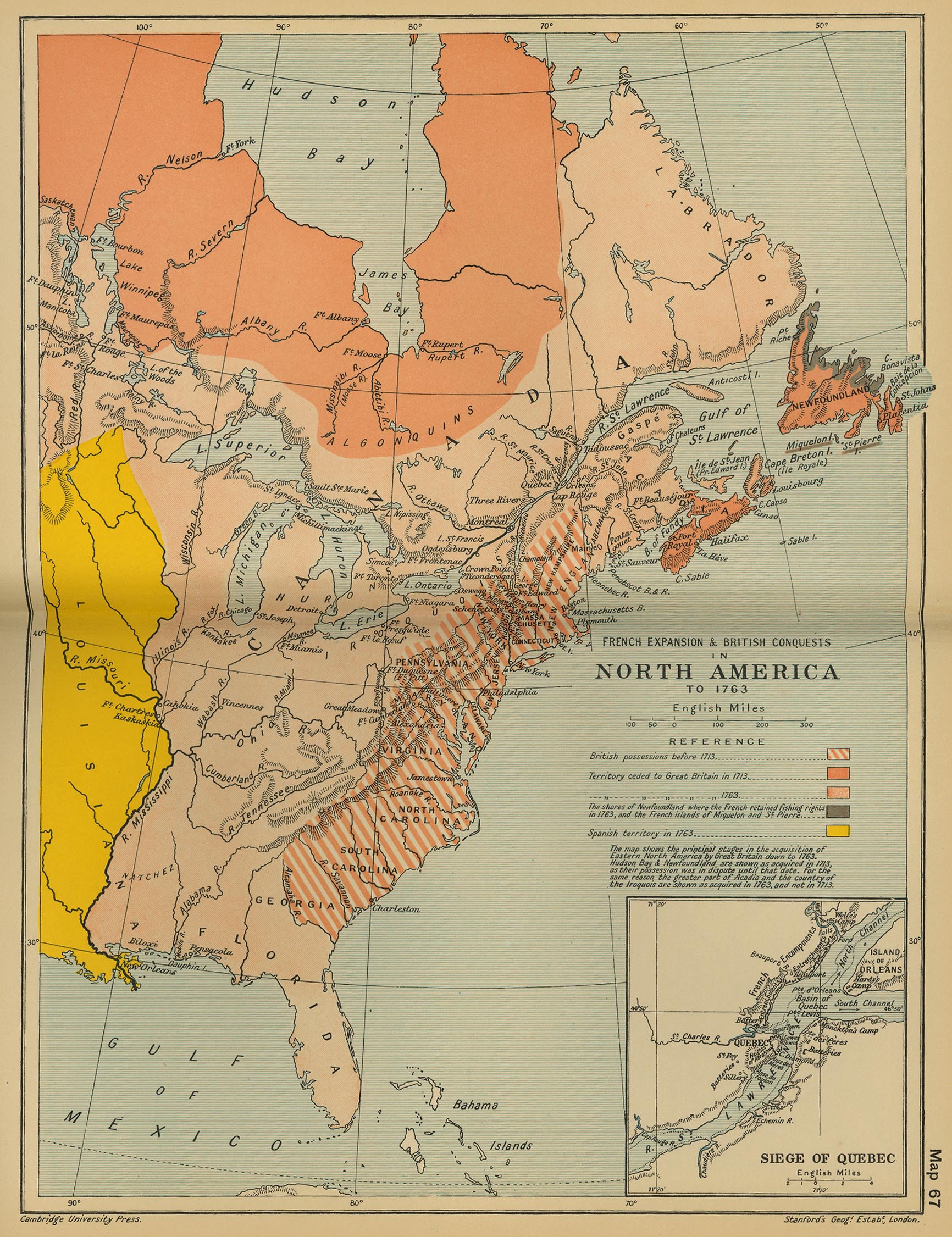
French and Indian War
French and Indian War
27 Territories
8 Bonus Regions
2 Special Rules
Objective Win Alternative

Special Rules
- Cities and forts can attack the region they are in.
- Ports can attack either the region OR any other port.
- Tribes can attack either the region OR the tribe of the same color.
- Regions can attack adjacent regions OR any cities, forts, ports or tribes within them.
Starting Neutrals
- ALL Objectives will start neutral.
- 3 tribes will start neutral.
- 3 ports will start neutral.
- Florida will start neutral.
This means of the 73 regions available for play, 60 will be assigned.
Here is the player/region distribution with neutrals in []'s
(2/30, 3/20, 4/15, 5/12, 6/10, 7/8[4], 8/7[4])
In this map version, there are places for the armies.
I welcome any and all input to my map.
27 Territories
8 Bonus Regions
2 Special Rules
Objective Win Alternative
Special Rules
- Cities and forts can attack the region they are in.
- Ports can attack either the region OR any other port.
- Tribes can attack either the region OR the tribe of the same color.
- Regions can attack adjacent regions OR any cities, forts, ports or tribes within them.
Starting Neutrals
- ALL Objectives will start neutral.
- 3 tribes will start neutral.
- 3 ports will start neutral.
- Florida will start neutral.
This means of the 73 regions available for play, 60 will be assigned.
Here is the player/region distribution with neutrals in []'s
(2/30, 3/20, 4/15, 5/12, 6/10, 7/8[4], 8/7[4])
In this map version, there are places for the armies.
I welcome any and all input to my map.

