Page 2 of 2
Posted: Sun Dec 10, 2006 3:53 pm
by Telvannia
there is the map with its bonuses on it
i decided to scrap the controling spitsenbergen bonus
Posted: Sun Dec 10, 2006 4:54 pm
by mightyal
The name of the brown continent is unreadable. Not hard to read - I genuinely cannot read it.
Also (non-expert opinion), there are too many links between continents.
Posted: Mon Dec 11, 2006 1:04 pm
by Telvannia
yeah i think i might change the colour of the brown continent
Posted: Tue Dec 12, 2006 2:58 pm
by Telvannia
does anyone know how big army circles have to be?
Posted: Tue Dec 12, 2006 4:24 pm
by happysadfun
Big enough to hold at least a 2-digit army number.
Posted: Tue Dec 12, 2006 4:32 pm
by Telvannia
how big is that?
Posted: Tue Dec 12, 2006 4:35 pm
by happysadfun
I don't really know.... but, better bigger than needed than smaller
Posted: Wed Dec 13, 2006 9:52 am
by Lupo
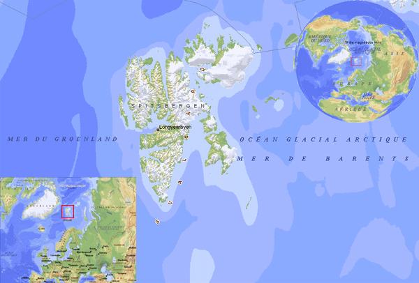
In order to make an original map, I would suggest to make the inland part of Svalbards a not playable area since they are covered by ice.
i like the ship draft you putted in the right down corner of the map..
So my idea would be to make Svalbard map a really sea map... using the insland only as harbours and using as territories many ships...
Maybe the theme of the map could be a scientific (and not only) competition between the nations that want to reach the north pole from Svalbards... you could aslo use the fact that on the main insland there's the northest university of the world....
you could also put some iceberg on the map... I don't know... just use your fantasy...
so, at end, I suggest a total change about the map ideas and goals...
have a look to theis map to take inspiration and to take some more accurate location name...

Posted: Wed Dec 13, 2006 2:33 pm
by Telvannia
i was planning to try and do a seasonal map but wa s not sure if it would be hard to do it
so some territories become blocked in winter by ice ect
i might pm lack and see if her could programme season in or something
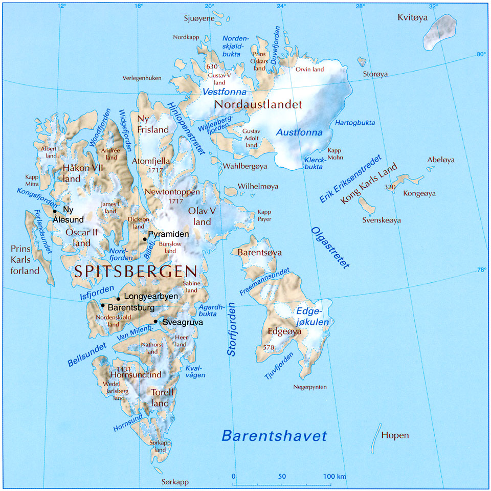
the name i used are all from svalbard but not in the right places well some of them are
Posted: Thu Dec 14, 2006 7:34 am
by gavin_sidhu
Well i finally decided to wiki svalbard and find out about it, its a state in Norway. People get upset when states of the US are proposed, why does a state of Norway deserve to be mapped?
Posted: Thu Dec 14, 2006 12:03 pm
by millej11
gavin_sidhu wrote:Well i finally decided to wiki svalbard and find out about it, its a state in Norway. People get upset when states of the US are proposed, why does a state of Norway deserve to be mapped?
Because USA states are all inland with square boaders, and very little obstacles. This state is comprised of mainly islands with unique placements. Similar to some country maps, or even the classic map
Posted: Thu Dec 14, 2006 1:07 pm
by Telvannia
ok lack cant do the seasonal map
i will have to rethink this map again and see how i can make it unique
Posted: Thu Dec 14, 2006 9:59 pm
by Marvaddin
gavin_sidhu wrote:Well i finally decided to wiki svalbard and find out about it, its a state in Norway. People get upset when states of the US are proposed, why does a state of Norway deserve to be mapped?
I also think it doesnt deserve it, even why we have other areas that could be more interesting.
Posted: Fri Dec 15, 2006 2:27 am
by gavin_sidhu
If you want to do an island-type map do Falklands, not much difference between the too except ppl die over falklands. The population of Svalbard is 3000, not spectacularly big.
Posted: Fri Dec 15, 2006 4:55 am
by Wisse
gavin_sidhu wrote:If you want to do an island-type map do Falklands, not much difference between the too except ppl die over falklands. The population of Svalbard is 3000, not spectacularly big.
he is already doing falklands...
Posted: Fri Dec 15, 2006 8:19 am
by Marvaddin
Re: Svalbard map
Posted: Fri Dec 15, 2006 9:27 am
by Puff
I have one question. Is Nosa apart of the Karls Land bonus?
Posted: Fri Dec 15, 2006 11:22 am
by Wisse
yep if you don't have nosa you will not get the bonus
Posted: Fri Dec 15, 2006 11:54 am
by Telvannia
updated:
army circles
colour change on edgeoya
Posted: Tue Dec 19, 2006 5:21 pm
by Telvannia
what are the maxium sizes for maps
i read the sticky but quite a few maps seem to bigger than the limit
when i know these things i can start on the XML
